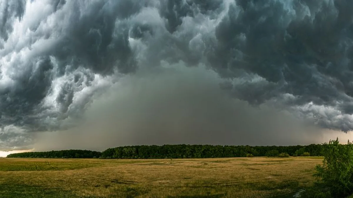
A shift in weather patterns is anticipated as the dry season gives way to more active cyclonic activity. Currently, an anticyclone is receding eastward, allowing a moist cyclone, named Justine, to move in from the west, accompanied by an extensive atmospheric front system carrying rain clouds. On Wednesday, a warm atmospheric front is predicted to pass over Lithuania.
While this front is expected to slightly temper rainfall, the entire country should anticipate feeling increased heat and humidity starting the following day. The weather pattern intensifies on Thursday with the arrival of another atmospheric front over Lithuania. Residents should prepare for heavy rainfall, which is forecast to intensify through the evening, particularly across the southern and southeastern regions, which are expected to experience the day’s highest temperatures.
Rainfall is set to continue through Friday and Saturday. These days will feature nighttime thunderstorms, accompanied by strengthening westerly winds and a noticeable cooling trend. A gradual shift toward calmer conditions is predicted for Sunday and Monday.
An anticyclone is expected to approach from the south. Although the core of this system may be somewhat dampened, the general trend indicates a return of heat and humidity across the whole nation.
Topics: #lithuania #atmospheric #front