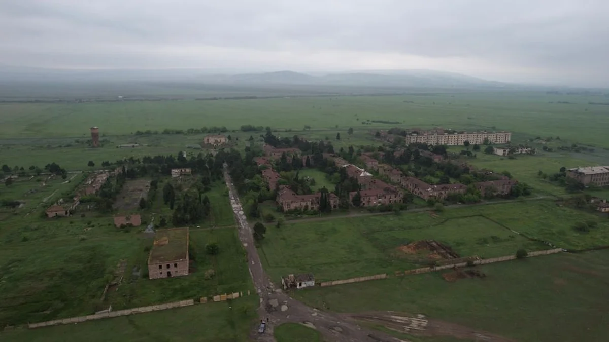
Vilnius district holds the largest concentration of abandoned agricultural land, totaling 3,015 hectares. Following this, Molėtų district reports 2,260 hectares, Trakų district accounts for 1,604 hectares, Zarasų district has 1,483 hectares, and Utena district reports 1,386 hectares. Collectively, these five districts account for nearly 10,000 hectares, representing approximately one-third of all abandoned agricultural land within Lithuania.
In contrast, Joniškio district records the smallest amount of abandoned agricultural land at 24.2 hectares. Furthermore, data indicates that Vilnius district, Trakų district, and Elektrėnai district have registered the highest number of newly abandoned agricultural plots this year. These figures provide insight into the current state of unused farmland across various administrative areas.
To clarify the scope of these measurements, the definition of abandoned land is established as any plot of land, excluding formal plantations, where trees or shrubs are growing, provided the area exceeds ten acres. The data collected before the harvest season offers key observations regarding land use patterns. The distribution of abandoned acreage across the different districts highlights significant variations in agricultural maintenance and land management practices across the country.
These trends are expected to inform planning and resource allocation for the coming year.
Topics: #district #abandoned #agricultural