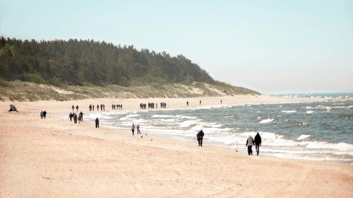
Southeasterly winds are forecast to intensify on Friday, bringing warm air from the south while remaining dry. Following a warm and rainy night on Saturday, the weather pattern will shift by Sunday. On Sunday, an approaching atmospheric front is expected to move through Lithuania, with rain clouds advancing calmly from the west.
While some western regions may experience a slight cooling, the eastern parts of Lithuania retain the potential to warm more. A larger system of cyclonic activity, characterized by more or less stormy and rainy conditions, is predicted to cover most of Northern Europe and the Baltic Sea starting Sunday. Both Sunday and Monday will see rainfall, with thunderstorms also possible.
However, the wind is expected to calm down across both days, leading to warmer conditions, even overnight. Looking ahead to September 1st, the Day of Science and Knowledge, current data suggests continued rain, likely in the form of a short, weak thunderstorm. Temperatures are anticipated to be slightly cooler overall, accompanied by calm winds throughout Sunday and Monday.
Topics: #warm #lithuania #more