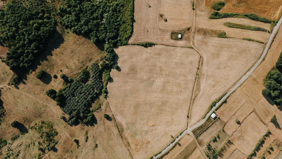
The State Inspectorate for Land Use Planning and Construction has outlined a systematic approach to conducting inspections, designed to ensure resources are focused on areas presenting the highest risk of land use violations. This strategy prioritizes inspections where potential impacts on the environment, public interest, or state interests are deemed most significant. The planning process relies heavily on the analysis of spatial data, detailed maps, and comprehensive information drawn from various state information systems.
A core component of this assessment involves determining the location of specific plots relative to sensitive zones. Inspectors evaluate proximity to cultural heritage sites, protected natural areas, major water bodies, critical infrastructure objects, state land, and other designated sensitive zones. The creation of the final inspection schedule is conducted through several distinct stages.
Initially, the process begins with a comprehensive risk analysis to select broad geographical areas warranting closer scrutiny. Following this, attention narrows to identify specific objects within those regions. For each identified object, a detailed risk assessment is performed to quantify the potential for non-compliance.
This culminates in the preparation of a preliminary report that guides the subsequent, targeted inspection efforts across the land. This multi-layered vetting process allows the state to maintain oversight while maximizing the efficiency and impact of its regulatory actions concerning land use.
Topics: #state #plots #land